GISIS Data Products
New ADC grid conversion and ADC Grid Look-up Utility Website
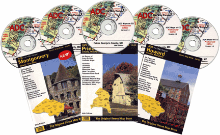
ADC Maps on CD
ADC Street Map Books are Now Digitally Available on CD. To find out more about how you can purchase ADC Maps on CD, visit http://www.adcmaps.com/cd_home.htm